In today’s digital age, geospatial data has become an essential resource for decision-making across various industries, including urban planning, environmental management, agriculture, and infrastructure development. However, acquiring, processing, and effectively utilizing geospatial data can be challenging. This is where Digital Data Experts comes in, providing a solution of large-scale data acquisition and an advanced platform for managing and analyzing geospatial information efficiently. In this article, we explore how to acquire geospatial data and leverage GeoCassini to facilitate better decision-making.
Acquiring Geospatial Data: The Fundamentals
What Is Geospatial Data?
Geospatial data refers to information that has a geographic component, meaning it is associated with locations on the Earth’s surface. It includes satellite imagery, aerial photographs, GPS data, and digital maps, among others.
Methods of Data Acquisition
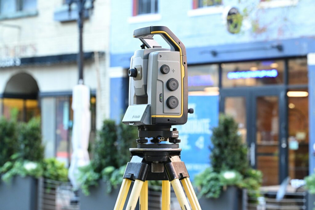
- Satellite and Aerial Imagery: High-resolution satellite images and drone-based LiDAR scans provide detailed and updated geographic information.
- Field Surveys and GNSS: Ground-based data collection using GNSS ensures high-precision geospatial information.
- Open Data Sources: Platforms like OpenStreetMap (OSM) and government databases offer free, publicly available geospatial datasets.
- IoT and Sensors: Smart sensors deployed in urban environments or agricultural fields continuously collect geospatial data in real time.
Acquiring geospatial data can be costly and requires expertise in handling different data formats. Additionally, ensuring accuracy and updating the data regularly remain significant challenges.
You need large-scale data acquisition? Discover our services.
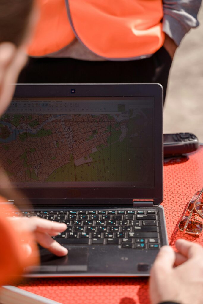
Exploiting Geospatial Data on GeoCassini
GeoCassini is a 100% web based platform designed to process, visualize, and analyze geospatial data efficiently.
Key Features of GeoCassini
- Data Integration and Management: GeoCassini supports multiple data formats, allowing users to import and manage diverse geospatial datasets.
- 3D Visualization and Modeling: Users can generate interactive 3D models for urban planning, construction projects, and environmental studies.
- Advanced Spatial Analysis: The platform offers Geographic Information System (GIS) tools for performing spatial queries, mapping changes over time, and detecting anomalies.
- Real-Time Collaboration and Sharing: Organizations can share geospatial data and insights with stakeholders through cloud-based collaboration.
Use Cases of GeoCassini
- Urban Planning: City planners use GeoCassini to map land use, optimize transportation networks, and design smart cities.
- Infrastructure Management: Engineers leverage the platform to monitor construction projects and assess structural health.
- Environmental Monitoring: Scientists utilize geospatial data on GeoCassini to track deforestation, monitor water resources, and assess climate change impacts.
Optimizing Decision-Making with GeoCassini
By efficiently processing and analyzing geospatial data, GeoCassini empowers decision-makers with actionable insights.
Leveraging Data for Better Decisions
- Automated Analytics and Real-Time Reporting: GeoCassini automates data processing, reducing human error and enhancing efficiency.
- Risk Assessment and Predictive Analysis: Decision-makers can forecast potential risks, such as natural disasters or urban expansion challenges.
- Scenario Simulation and Strategic Planning: Users can simulate different development scenarios to determine the best course of action.
Benefits for Organizations
- Time Efficiency: Rapid data processing speeds up project timelines.
- Cost Reduction: Optimized geospatial data usage minimizes expenses on field surveys and resource allocation.
- Improved Decision Accuracy: Enhanced data visualization leads to more informed decision-making processes.
The integration of geospatial data acquisition and processing is crucial for efficient decision-making in various sectors. GeoCassini stands out as a powerful platform that simplifies data management, enhances spatial analysis, and improves collaboration. By leveraging geospatial intelligence, organizations can streamline operations, mitigate risks, and drive sustainable development.
Are you ready to transform your geospatial data workflow?
Explore Digital Data Experts’ solutions today and take your decision-making process to the next level!