Unlock the Full Potential of Your Geospatial Data With Our Cutting-Edge SaaS Solutions

Expertise in Large-Scale Data Acquisition
Leveraging the skills of our surveying experts,
DDE excels in large-scale data acquisition projects.
We uniquely blend open-source data with targeted collection efforts to create custom digital twins tailored to your requirements.
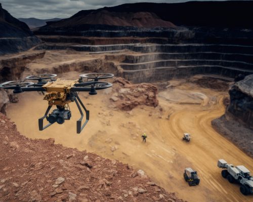
Employing advanced techniques like mobile mapping and aerial surveys, we enable oversight of diverse environments — ranging from underground to forested areas, coastal risk management, and the development of smart city projects.

Tailored Algorithm Development
Complementing our data acquisition practices, DDE develops sophisticated algorithms for the creation and application of digital twins.
These algorithms are designed for detailed
data analysis, future trend prediction, anomaly detection, and performance enhancement.
We also offer customization of these algorithms to meet specific project needs.

Advanced Geospatial Data Management
GeoCassini is our flagship 100% web-based SaaS platform designed for the management of geospatial data.
It supports the storage, handling, analysis, update, and sharing of spatial and contextual data, fostering a dynamic community of data producers, civil engineers, and algorithm developers. GeoCassini represents a continually evolving ecosystem, incorporating the latest technological innovations to benefit our users.
Digital Data Experts
Elevating Your Data’s Potential
At Digital Data Experts (DDE), we redefine the value of your data through a holistic approach that spans from initial acquisition to strategic implementation.
Central to our service offering is a commitment to innovation and interoperability, ensuring you receive unparalleled expertise in geospatial data management.
Want to know more?
Contact us!
Just fill in the contact form, we’ll be in touch shortly.
Solar Impulse
Recognized for Innovation
Our GeoCassini platform received the Efficient Solution Label from the Solar Impulse Foundation in February 2021, a testament to its focus on environmental sustainability as well as its economic viability.
This accolade, awarded by independent experts, highlights GéoCassini as a model among new technologies, promoting its rapid adoption among businesses and government entities.

Our Team
GeoCassini focuses on streamlining digital twin management and the delivery of geolocated and GIS data.
Parallele-45, which operates in France and internationally, offers extensive expertise in land surveying, topography, urban planning, and real estate.
LBP Etudes & Conseil stands at the forefront of surveying and topography, specializing in the innovative aerial acquisition of digital twins.
Archetype Group, a leading international construction consultancy company, delivers a full spectrum of services, including architecture, urban planning, engineering, cost management, and project management.
Want to know more?
Contact us!
Just fill in the contact form, we’ll be in touch shortly.